 This post was written by Emily Eros, a member of the American Red Cross mapping team, who recently traveled to Canaan, Haiti. You can see more about the Red Cross’ work in the country at redcross.org/haiti.
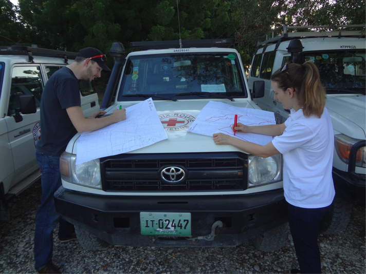
Earlier this month, the American Red Cross took its mapping efforts on the road in Canaan, Haiti, where we piloted Mapillary: a collaborative photo mapping service that allows users to upload and share street-level images of places around the world. The service is similar to Google StreetView, except that anyone with a smartphone or computer is able to contribute.
We initiated this trip as a complement to our MissingMaps project, which utilizes volunteers who trace satellite imagery in order to put the world’s most vulnerable communities on the map.
Canaan is an emerging community that sprung up after the 2010 Haiti earthquake, when displaced people resettled in the hills on the northern outskirts of Port-au-Prince. Haitians continue to move to Canaan and invest in new homes and communities there.
As Canaan develops, it becomes more and more important to have information about where features like roads, buildings, schools, health facilities, and water resources are located. This helps with urban planning efforts and informs first responders and humanitarians during disasters.
Anyone with a smartphone can use the Mapillary app to take photos and upload them to the site. To cover a large area like Canaan, we decided to mount cameras inside of a vehicle and drive the roads, recording images as we traveled. We did the mapping with basic, inexpensive technology: a camera, a suction cup mount, a GPS unit, and our smartphones.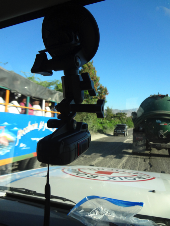
We attached the camera to the inside of our vehicle, set the camera to record an image every two seconds, and had the GPS device record our tracks so that we’d know where each image was taken. Then we hopped in the vehicle and set off for Canaan. This method enabled us to capture more than 5,000 images—covering nearly 70 miles of Canaan’s roads—in just two days!
The images are now up on Mapillary (with faces and license plates blurred for privacy). You can stop by their site to see where we traveled and explore the photos. We’re planning to map the rest of Canaan over the next few months, and revisit periodically so we can watch it change over time. Want to get more involved? Sign up for an OSM account and then head over to help map Canaan! We’ve created this tracing guide to help you get started.